Welcome to AeroMap Solutions!
Thank you for visiting AeroMap Solutions.
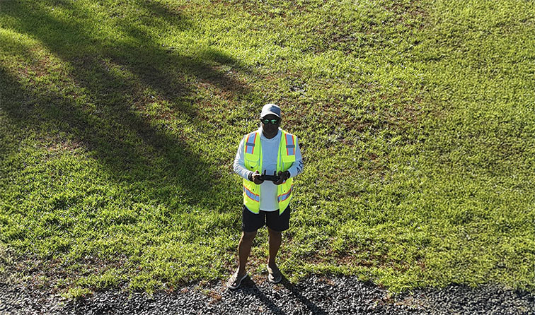
My name is James Burwick, and I bring more than 30 years of experience in technology, project management, and cybersecurity to every project I undertake. As an FAA Part 107 Certified Remote Pilot, I founded AeroMap Solutions to combine technical expertise with advanced drone technology to deliver accurate, reliable, and actionable aerial data.
At AeroMap Solutions, we specialize in aerial mapping, project progress monitoring, infrastructure and property inspections, aerial photography, and drone-based data collection services. Whether supporting construction projects, real estate marketing, land development, or commercial inspections, our goal is to provide high-quality deliverables that help clients make informed decisions with confidence.
We understand that every project is unique. That is why we work closely with our clients to deliver customized solutions, professional service, and dependable results. From planning and data collection to final deliverables, we are committed to safety, precision, and excellence in every mission.
Thank you for considering AeroMap Solutions. We look forward to helping you gain a new perspective from above.
I cater to a diverse range of clients, including:
No matter the size of your project or organization, AeroMap Solutions is committed to leveraging the latest advancements in drone technology to deliver accurate, reliable, and actionable results. From capturing high-quality aerial imagery for real estate marketing and monitoring construction progress to conducting detailed inspections and generating precise 2D maps and 3D models, we provide the data and insights needed to support informed decision-making.
At AeroMap Solutions, we believe every project deserves a unique approach. Our mission is to combine innovation, safety, and precision to help clients gain a clearer perspective of their assets, properties, and projects. Whether you are managing a construction site, evaluating infrastructure, marketing a property, or planning future development, we are dedicated to delivering professional solutions that help you achieve your goals with confidence.
Discover a new perspective from above with AeroMap Solutions, where technology, expertise, and exceptional service come together to elevate your projects to new heights.
© 2026 Aeromap Solutions, LLC. All Rights Reserved.